
All Models Are Wrong, But Some Are Useful
You may already be familiar with seeing some images from weather forecasting models on your own or on TV. These weather forecasting models are generally classified as numerical weather prediction, where complicated sets of equations try to determine what future weather conditions will be. The Earth’s atmosphere is like one giant fluid, and weather models are trying to predict how air and clouds will flow in that fluid over time. There are a few important equations for how fluids move over time which make up the backbone of most weather forecast models. Most forecast models are deterministic in that they are trying to find one solution for what the future atmospheric conditions will be.

Because the atmosphere is a chaotic system with trillions of tiny particles which are impossible for machines to calculate all at once, deterministic models are virtually always incorrect in some way. In addition, research has shown that the models themselves are extremely sensitive to initial conditions, meaning that changing the temperature by one degree at one location may have huge impacts on global weather patterns within a few days. Observations from surface weather stations and weather balloons are the initial conditions for most weather models. If there is a slight error in any of those observations, then that would also introduce very large errors in weather forecast models in a short period of time.
With these limitations in mind, it is important to consider many different weather forecast models when trying to understand what future atmospheric conditions might be. No singular model is going to be perfect, especially over long periods of time. To take into account the sensitivity to initial conditions, some forecast models are run as an ensemble. In these ensembles, the initial conditions are changed very slightly for random variables in random places, and then the forecast model is run over and over with slightly different initial conditions. Considering how the model output changes from one ensemble member to another can be an important tool for understanding the possible outcomes predicted by that weather model.
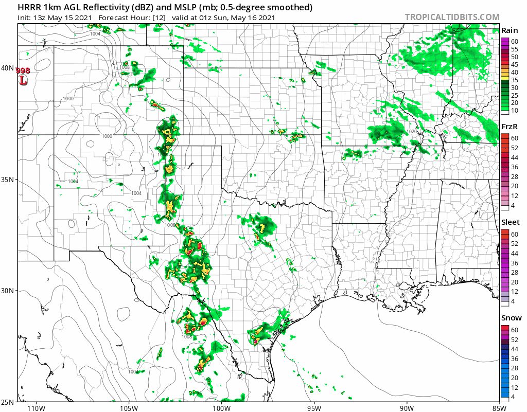
Weather models can usually be classified into one of three types. Those three types are global, regional, and convection-allowing models. Global weather models try to find a solution for the entire atmosphere over the Earth. Regional weather models have boundaries around a country or a continent where the boundary conditions are set by observations and the model just runs within those boundaries. Convection-allowing models are usually on a smaller scale, such as a country or even smaller, where thunderstorms are simulated directly by the model. The global and regional models usually cannot be convection-allowing because it requires a higher resolution and is usually extremely data-intensive, which is why convection-allowing models are usually limited to smaller areas.