
Convection-Allowing Models (CAMs)
Some smaller scale regional weather forecast models are run which can allow for convection to be directly simulated by the model. These models are called convection-allowing models, or CAMs. CAMs have a much higher resolution than global scale models, which allow them to have simulated thunderstorms which exist across multiple grid cells in a way that they can attempt to physically account for the dynamics within thunderstorms, such as updrafts and downdrafts. The large grid spacing in global scale models does not allow them to simulate thunderstorms in a physical way, which is why precipitation in global models is parameterized.
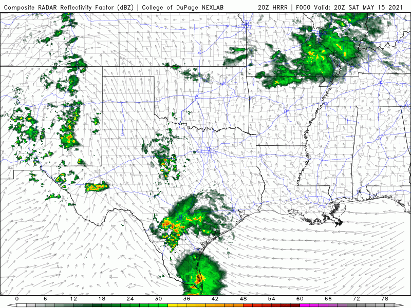
Because of the processing power needed to simulate thunderstorms on smaller scales, CAMs are usually only run over a certain region for a small amount of time, such as 1-3 days in the future. The most popular example of a convection-allowing model is the High Resolution Rapid Refresh, or the HRRR. The HRRR is run every hour with updated observations from weather stations and radar data, and it typically forecasts 18 hours into the future. Four times a day at 00z, 06z, 12z, and 18z, an extended version of the HRRR is run out to 48 hours into the future. Other examples of convection-allowing models are the 3km NAM (North American Mesoscale Forecast System) and different versions of the WRF (Weather Research and Forecasting) model.

Even though these CAMs can simulate thunderstorms, they still do not explicitly resolve all of the tiny processes going on within thunderstorms, such as raindrop formation and even tornadoes. Even high resolution CAMs still have to parameterize certain microphysical processes, meaning they are still built on guesses on how the atmosphere will behave. This is why there are many different CAMs, which rely on many different types of parameterizing features of the atmosphere, such as heating from the Sun and the formation of tiny cloud droplets. It is important to understand that no one CAM will ever show the complete picture for how the atmosphere will evolve 100% of the time. Skilled forecasting involves a measure of approach of understanding how to interpret model output in a way which realizes the biases of certain models and what the range of possibilities are.
CAMs in particular struggle when there are no strong synoptic features forcing certain weather events to occur. For example, the HRRR model may do a very good job one day of forecasting when and where thunderstorms will occur along a strong cold front, but it may do a very poor job of forecasting when and where thunderstorms will occur within a uniform airmass where no strong fronts are present. Just because no models show a certain phenomenon happening does not mean that it is not going to happen. Likewise, just because most models show a certain phenomenon happening does not mean that phenomenon is guaranteed to happen.