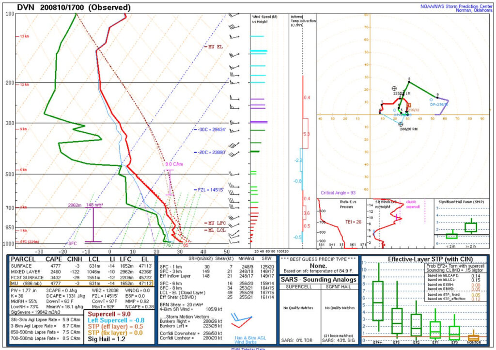
Factors Supporting Damaging Wind Gusts
Damaging wind gusts can be produced by supercell and squall line thunderstorms, as well as tropical cyclones. Tropical cyclone wind gusts are fairly self-explanatory, so they will not be explored further in this lesson. While supercells can form damaging wind gusts, the hail and tornadoes which they can produce are often more destructive. For this lesson, we will focus on squall lines leading to damaging wind gusts.
Damaging straight-line winds produced by squall lines often involve a very large amount of instability and drier air in the mid-levels. The dry air in the mid-levels helps to cool the air in the downdraft of the thunderstorm by evaporative cooling, which causes it to descend toward the ground faster. When this downdraft reaches the ground it will spread out in all directions and enhance the wind speed of the leading edge of the thunderstorm. Soundings measure how likely a storm is to produce strong downdrafts with DCAPE, or downward CAPE. A sounding with DCAPE values over 1,000 J/kg may be a good indicator that damaging wind gusts may occur in that environment if thunderstorms form.
