The Forecast Cone
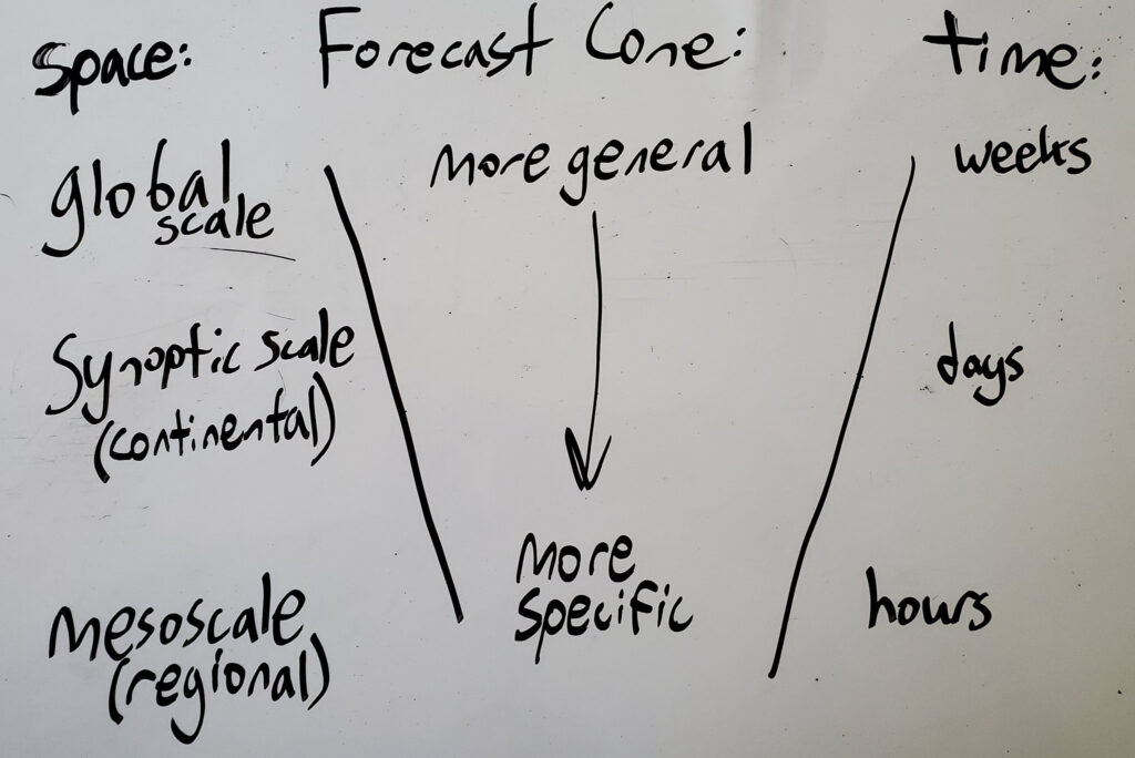
Forecasting for severe thunderstorms typically involves looking at the bigger picture first, and then narrowing down specifics with that big picture in mind. This approach is often referred to as the “Forecast Cone,” as going from large scale dynamics to specifics resembles a cone shape. The largest scales in our atmosphere are referred to as synoptic scale, and weather phenomena at that scale include the jet stream, cold fronts, and large hurricanes. The middle scales in our atmosphere are referred to as mesoscale, and weather phenomena at that scale include individual thunderstorms, complexes of thunderstorms, and some smaller boundaries between air masses. The smallest scales in our atmosphere are referred to as microscale, and weather phenomena at that scale include tornadoes, precipitation, and cloud formation. Using the forecast cone approach would generally start with the synoptic scale, and then move onto the mesoscale and eventually the microscale.
This course will use the forecast cone approach in teaching how to forecast severe weather events. The next few lessons will start with synoptic scale features like the jet stream at higher levels, and then move onto mesoscale dynamics, which could affect what type of severe weather could occur. The forecast cone is not just a scale of space, but also a scale of time. Phenomena like the jet stream do not change very quickly, but they have a large effect on when and where severe weather can occur. Likewise, variables like temperature and humidity can change very quickly, and they tend to have a more localized influence on severe weather potential.